Attachments
| Name | Size | Creator | Creation Date | Labels | Comment | ||
|---|---|---|---|---|---|---|---|
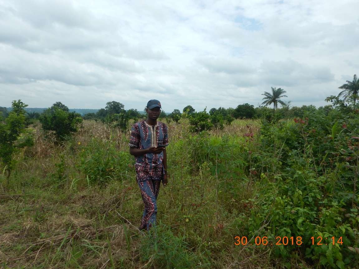
| JPEG File DSCN3702.jpg | 203 kB | Rosaline Azannandje | Jul 03, 2018 16:56 |
|
20180630 - Le champ complet | ||
| Version 1 (current) | 203 kB | Rosaline Azannandje | Jul 03, 2018 16:56 | 20180630 - Le champ complet | |||
| JPEG File DSCN3705.jpg | 180 kB | Rosaline Azannandje | Jul 03, 2018 16:56 |
|
20180630 - Mesure du champ avec GPS par AT | ||
| Version 1 (current) | 180 kB | Rosaline Azannandje | Jul 03, 2018 16:56 | 20180630 - Mesure du champ avec GPS par AT | |||
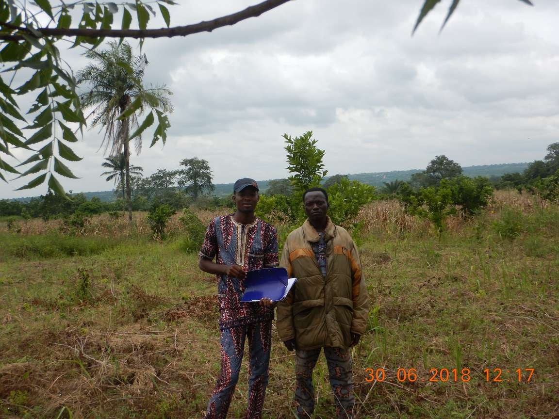
| JPEG File DSCN3709.jpg | 196 kB | Rosaline Azannandje | Jul 03, 2018 16:56 |
|
20180630 - Planification des opérations avec l'AT | ||
| Version 1 (current) | 196 kB | Rosaline Azannandje | Jul 03, 2018 16:56 | 20180630 - Planification des opérations avec l'AT | |||
| JPEG File Screenshot_20180702-141146.jpg | 10 kB | Rosaline Azannandje | Jul 03, 2018 16:56 |
|
20180630 - Les cordoonnées GPS du champ du RCPA | ||
| Version 1 (current) | 10 kB | Rosaline Azannandje | Jul 03, 2018 16:56 | 20180630 - Les cordoonnées GPS du champ du RCPA |